Big Data – An Essential Ingredient For Sustainable Land…
Big Data – An Essential Ingredient For Sustainable Land Management
By Atula Owade
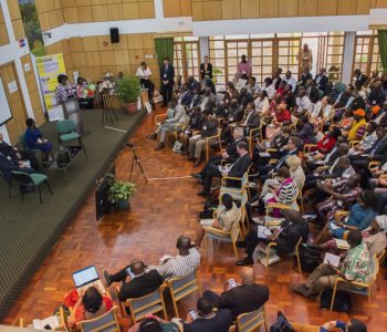
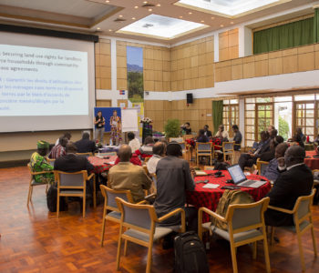
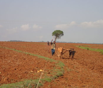
The third day of the Global Soil Week 2019 featured a plenary session in which representatives of various African governments made presentations. Each highlighted the efforts they were making towards achieving sustainable and climate resilient agriculture in their respective territories.
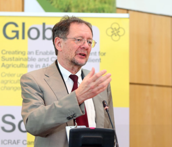
The delegate from Ethiopia, represented by H.E Etefa Diba Areri, a Member of Parliament who sits in the Agricultural Affairs Standing Committee. One of the things he highlighted was the creation of the Ethiopian Soil Information Service (EthioSIS). While still in development, this information portal is a powerful tool in facilitating sustainable land management. Read more here.
What is EthioSIS?
It is a database which when completed, will contain information about all kinds of soils found within Ethiopia. These include both the chemical and biophysical properties. The ambitious project was started in 2012 via the Ethiopian Agricultural Transformation Agency (ATA) in partnership with the continent-wide Africa Information Service (AfSIS).
EthioSIS is currently being spearheaded by the recently established Ethiopia Soil and Research Institute (ESRI). The database is a first of its kind on the continent due to the magnitude of data it seeks to collect and disseminate. Its development and establishment of supportive agencies such as ESRI illustrate how vital soils are in the development agenda of the East African country whose economy heavily relies on agriculture.
How EthioSIS Works?
The end goal of the EthioSIS team is to develop one of the most advanced national soil maps in the world. To achieve this, there are various approaches which are being taken to ensure that detailed information relating to Ethiopian soils are gathered and catalogued. This is done through a combination of field surveys, spectral data collection and laboratory analyses and different experts working for EthioSIS to gather an extensive array of soil data. In line with the advice from the Nairobi-based World Agroforestry Center, the EthioSIS team established soil laboratories across the country.
Furthermore, it developed procedures for soil sampling, analyzing, and cataloging more than 100,000 samples from nearly 100 sentinel sites across the country.
The type of Data is EthioSIS hosting?
There are several data points that can be used to describe the nature and health of soils. These include physical attributes like texture and color, as well as geotechnical ones such as permeability and specific gravity. In the same vein, there are chemical ones, on top of biotic factors. All of these attributes have an influence on soil fertility and are useful for data-driven decision-making that would create an enabling environment for sustainable and climate-resilient agriculture in Africa.
Given the above, EthioSiS is meant to host a rich dataset cutting across soil parameters. This will result in the publication of up to 22 different maps for every region in the country, with each one providing information about particular parameters.
EthioSIS as a decision making tool
EthioSiS is meant to host a rich dataset and each database holds information on multiple soil parameters which are used to generate 22 different maps. These contain the chemical and biophysical information about each region, enabling farmers and other decision makers to fully understand the nature of their soils. EthioSIS since inception has produced soil fertility maps coupled with fertilizer recommendations for various regions in the country. This allows those in the ground to treat each region individually, rather than the previously commonplace blanket approach when it comes to things such as application of fertilizer. In this way, the database helps to protect soils through provision of the information needed for SLM.
How is EthioSIS creating an enabling environment?
During the 2018 CGIAR Big Data in Agriculture Convention, one of the main challenges that was identified with regard to agricultural big data is organizing it. The volume, variability, multiplicity and complexity of soil big data limits the ability of farmers, extension officers, and policy makers to readily use it.
Hence, organizing it would facilitate better decision making for sustainable land management. This is what the database is meant to achieve. It adheres to FAIR Open Data Principles, which makes the information: Findable, Accessible, Interoperable, and Re-usable (FAIR). In this way, it creates an enabling environment by providing farmers, policy makers and other stakeholders with what they need to make an inform and data-driven decisions.